Access the map and navigate or search for specific locations.
Access the map
Access the map tab to view your geographic territory hierarchy.
Go to Territories > Manage Accounts.
From the territory node menu, select a hierarchy you want to view.
Click the Map tab.
Note
The Map tab is only available for hierarchies that you created with the Geography option.
.png)
Navigate and explore the map
Familiarize yourself with map navigation:
Select a territory
At the bottom of the screen, click on the colored bar or name representing the territory you want to edit.
Search for a location
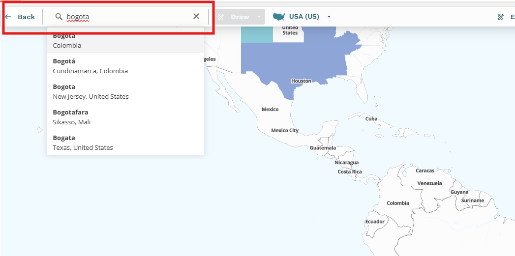
Find the Search bar on the map interface.
Type the name of a country, state, city, or postal code.
A list of matching localities will display, select the one you want to focus the map on.

Adjust map view
Use your mouse to zoom in on the map to display more details within the selected area. This does not change the underlying geographic boundaries (like states or postal codes) unless you enable auto zoom.
Use the scroll wheel on your mouse to zoom in and out of the map area.
Note
When you create a map-based territory, the map zoom level determines what data fields the hierarchy rule will use. If data is missing or incorrect in the selected field, this will prevent the account from being allocated to the correct territory.
.png)
Adjust map level
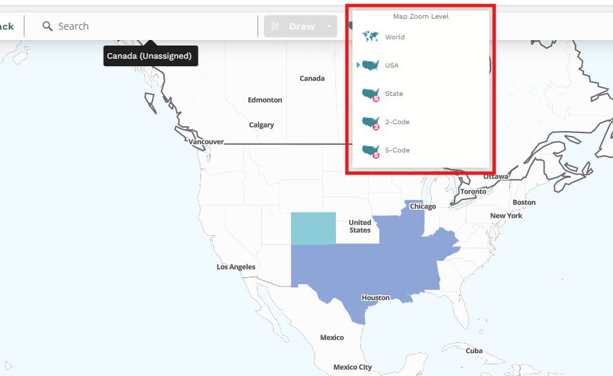
Use the Map Zoom Level to change the boundary data levels that switch different types of geographic boundaries (for example, from states to postal codes).
Click on a country or a general area on the map to activate the geographic area indicator at the top of the map interface (displays the name of the broadest active geography, such as United States).
Click the geographic area indicator to trigger the Map Zoom Level dropdown.
From Map Zoom Level dropdown, select the desired boundary data level you want to work with (for example, Country, State, 2-digit zip, 5-digit zip).

Note
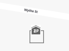
Some postal codes, such as those for P.O. Boxes, don't correspond to a typical geographic delivery zone and are common globally. These postal codes display on the map with a ZIP house icon at or near the associated post office location. Zoom in to view them.
